A buyer stands at the top of a wooded parcel with a builder and a surveyor, looking out over the ridge toward the lake three miles off. The listing said 5.71 acres. The builder is looking at a different number: how much of that hillside the city will actually let anyone clear.
That gap between advertised acreage and buildable acreage is the friction that catches people off guard on mountain lots inside Guntersville city limits, and it rarely comes up until a builder is standing on the ground with a slope reading in hand.
What "5.71 Acres" Actually Describes
A listing like the Hickory Hills parcel reads as forested acreage at the top of a mountain, inside city limits, a short drive from the nearest boat ramp. That description is accurate. What it doesn't tell a buyer is how much of that hillside qualifies as buildable land under the city's own zoning code once slope enters the picture.
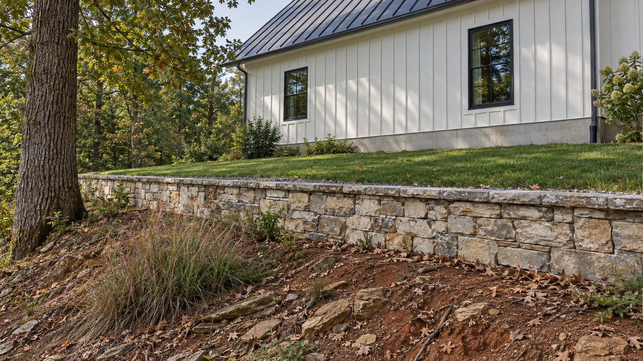
Acreage on a deed is a flat number. A hillside is not flat ground. The same 5.71 acres can include a gentle building pad near the top, a steep drop toward a creek line, and a mid-slope band that falls squarely inside a regulated category the City of Guntersville has already defined in its zoning ordinance.
The City's Own Slope Math
Guntersville's zoning ordinance includes a section called Mountainside and Steep Slope Development Regulations, and it does something most buyers never expect from a lake town: it puts a hard percentage on how much of a hillside can be cleared, regraded, or stripped of vegetation.
Under that ordinance, land with a slope of 18 percent to 30 percent can have no more than 40 percent of that area developed, regraded, or stripped of vegetation. If the soil in that band is classified as erosion-prone under standards set by the USDA Natural Resources Conservation Service, the cap drops to 30 percent. The rule doesn't ask what the buyer intended to build. It measures the land first.
| Slope Range | Maximum Area Disturbed |
|---|---|
| 18% to 30% | 40% of that slope area |
| 18% to 30%, erosion-prone soils | 30% of that slope area |
That table is not a formality. It determines where a driveway can cut, how wide a building pad can be, and whether a garage or guest structure fits without a variance. A parcel that reads as 5.71 acres of buildable mountain ground can, once surveyed, resolve into a much smaller footprint once the steep sections are set aside.
The ordinance exists for a reason that has nothing to do with slowing anyone down. Steep, cleared hillsides erode. Erosion moves soil into the same creeks and coves that make lake living worth the drive in the first place. The rule protects the thing everyone is buying the lot to be near.
The Second Constraint Nobody Budgets For
Slope isn't the only review a mountain lot has to clear. Many wooded, elevated parcels inside city limits sit above where gravity-fed municipal sewer lines reach, which means the home ends up on a septic system, and Alabama treats septic as its own permitting track entirely separate from zoning.
Before any construction on a lot without access to public sewer, Alabama law requires a soil evaluation or percolation test to determine whether the ground can support an onsite sewage disposal system. The Alabama Department of Public Health puts it plainly: some sites are simply not suitable for a conventional septic tank system, and shallow, slow-draining, or oversaturated soils can force an engineer-designed system before a permit is issued at all.
Once a site does qualify, the placement isn't flexible. State rules under Alabama Administrative Code 420-3-1 require the drain field to sit at least 100 feet from any well or potable spring and at least 5 feet from a property line. On a sloped, forested lot, those setbacks interact with the same steep sections the zoning ordinance already restricts, which means the buildable envelope can shrink twice before a floor plan is ever drawn.
Neither department checks the other's math. The city's Building Department confirms slope classification and zoning compliance. The county health department confirms soil suitability and septic placement. A buyer who clears one review can still be surprised by the other.
Who Actually Confirms This Before You Design a Home
Guntersville's Building Department is housed inside City Hall, and the office that handles zoning, slope classification, and site plan review is run by Building Official Eric Self, with Melissa Lowery serving as Administrative Assistant. Their office maintains the Site Plan Review Form and the subdivision application paperwork that a builder needs before staking a foundation on sloped acreage.
That office is also the fastest way to settle the slope question before an offer goes in, not after. A site plan review can confirm which portions of a specific parcel fall into the 18 to 30 percent bracket and whether any section has been flagged for erosion-prone soil. That single conversation replaces weeks of assumption with a number a builder can actually design around.
What to Ask Before You Write an Offer
- Has a topographic or slope survey been run on this specific parcel, and can the seller or listing agent provide it
- What percentage of the total acreage falls into the 18 to 30 percent slope bracket under the city's zoning ordinance
- Has a percolation or soil evaluation been completed for septic suitability, and what was the result
- Is any portion of the lot classified as erosion-prone soil under NRCS standards, which would drop the disturbance cap to 30 percent
- Has the City of Guntersville Building Department reviewed a proposed site plan, even a preliminary one
A buyer who asks these five questions before closing walks into a design conversation with real numbers instead of a listing description. A buyer who skips them finds out the hard way, usually after a survey stake goes in somewhere the driveway can't legally go.
FAQ
Does the entire lot need a slope survey before I can get a building permit? The city reviews the specific area where construction is proposed, not necessarily the whole parcel, but a full topographic survey gives a builder the clearest picture of where the 18 to 30 percent bands fall across the property before a design is finalized.
What happens if part of my lot is classified as erosion-prone soil? The disturbance cap on that section drops from 40 percent to 30 percent under the city's ordinance. It doesn't eliminate the ability to build, but it narrows the footprint further and is worth confirming with the Building Department before finalizing a site plan.
Buying acreage on a Guntersville hillside means buying a number that looks bigger on paper than it will ever be on the ground. The slope percentage and the septic suitability are both knowable before closing, and both are worth confirming with the people who actually enforce them.
If you're weighing a mountain lot like this one and want a straight answer on what's actually buildable before you fall in love with a view, reach out to Ainsworth Homes to schedule your design consultation.